UAS/UAV (drone) SERVICES
At no extra cost, we include professional drone imaging with every utility locate to deliver real-time, high-resolution visuals of your project area. By combining aerial imagery with ground markings, our clients gain a complete perspective—seeing every flag, paint mark, and surrounding feature with unmatched clarity. We also offer additional Drone Services at Custom Pricing to meet your project needs.
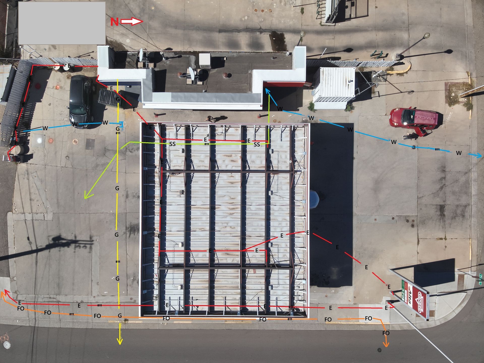
Digital Aerial Sketch
Using aerial photos to create a digital sketch provides an accurate, visual record of each locate or project site. High-resolution drone images capture real-time surface conditions, allowing markings, utilities, and key features to be clearly mapped and overlaid for precise documentation.
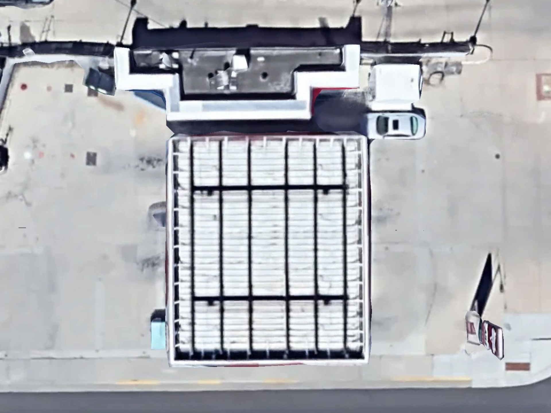
Realtime HD Photos & Video
Drones deliver real-time, high-resolution images that far surpass outdated, blurry satellite photos. With drones, you get instant, crystal-clear visuals that show true site conditions and project progress—right now, not months ago. This means sharper details, smarter decisions, and more professional results for every project.
Construction Progress Monitoring
We specialize in capturing construction progress using advanced drone technology, delivering high-resolution aerial imagery and video for a clear, comprehensive view of your project. Our drone footage allows for precise milestone tracking, progress comparisons, and site monitoring—offering angles ground photography can’t match. This helps project managers and stakeholders stay informed, enhance communication, and make smarter, data-driven decisions throughout every phase of construction.
Timelapse Video & Progress Reporting
We offer construction time-lapse and progress reporting services that document your project from start to finish with professional accuracy. Our team schedules site visits to capture key milestones using high-quality aerial and ground footage. These visuals can be turned into compelling time-lapse videos or transition sequences, perfect for showcasing progress to clients, investors, or for marketing—while also serving as a valuable tool for project management and reporting.
Zoom Capabilities
Drones with advanced zoom capabilities are ideal for safely inspecting power lines, towers, and hard-to-reach infrastructure. With optical zoom ranging from 4x to 30x or more, they allow close-up views of insulators, connectors, and cables without sacrificing image quality or requiring personnel to work near high-voltage areas. This reduces safety risks and enables early detection of issues like cracks, corrosion, or overheating—supporting timely maintenance and preventing system failures. Zoom-capable drones are a valuable asset for efficient, high-precision infrastructure inspection.
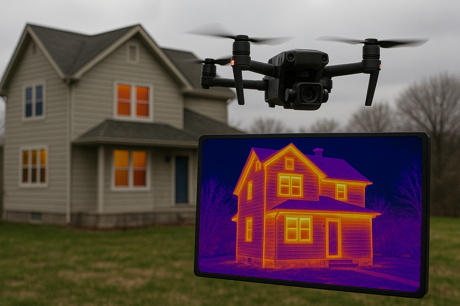
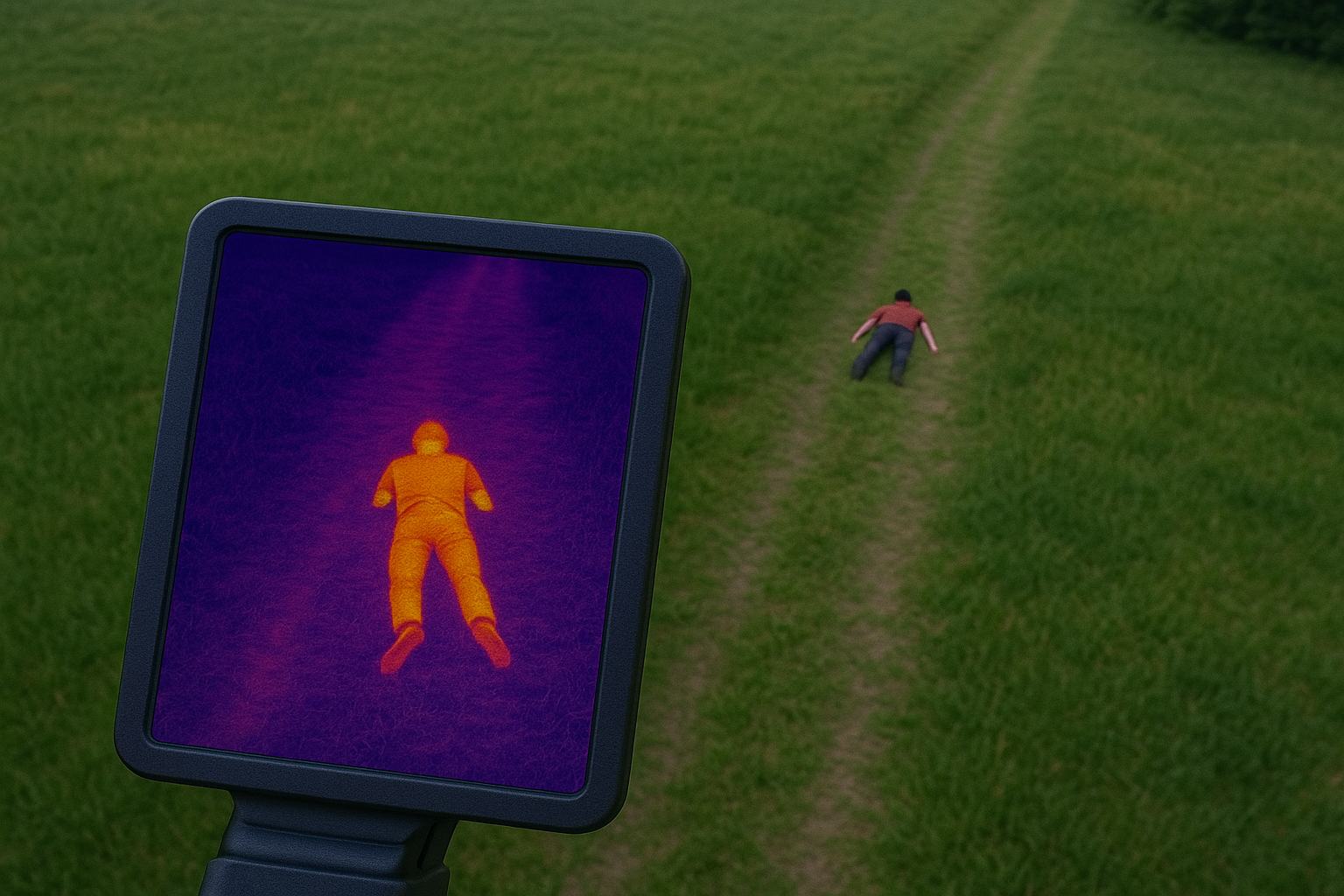
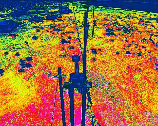
Thermal Image Capturing
Drones with advanced zoom capabilities provide a safe, efficient solution for inspecting power lines, towers, and hard-to-reach infrastructure. With 4x to 30x optical zoom, they deliver detailed visuals of insulators, connectors, and cables—reducing the need for risky, close-up inspections. This enhances safety, enables early issue detection like cracks or corrosion, and supports timely maintenance. Zoom-capable drones are essential for modern, high-precision infrastructure monitoring.
POWERED BY
Interested in our services? We’re here to help!
We want to know your needs exactly so that we can provide the perfect solution. Let us know what you want and we’ll do our best to help OR point you in the right direction.